Albany_County_Interactive_Map.htm
Sunday February 18th, 2024 9:59 AM
Albany County Interactive Mapping
Objective:
Document availability of Geographic Information System (GIS) Map for Albany County.
Conclusion:
-
Albany County Interactive Mapping
- available through the County's website
https://www.albanycounty.com/
-
- is an excellent resource to gather intelligence for a given property within the county.
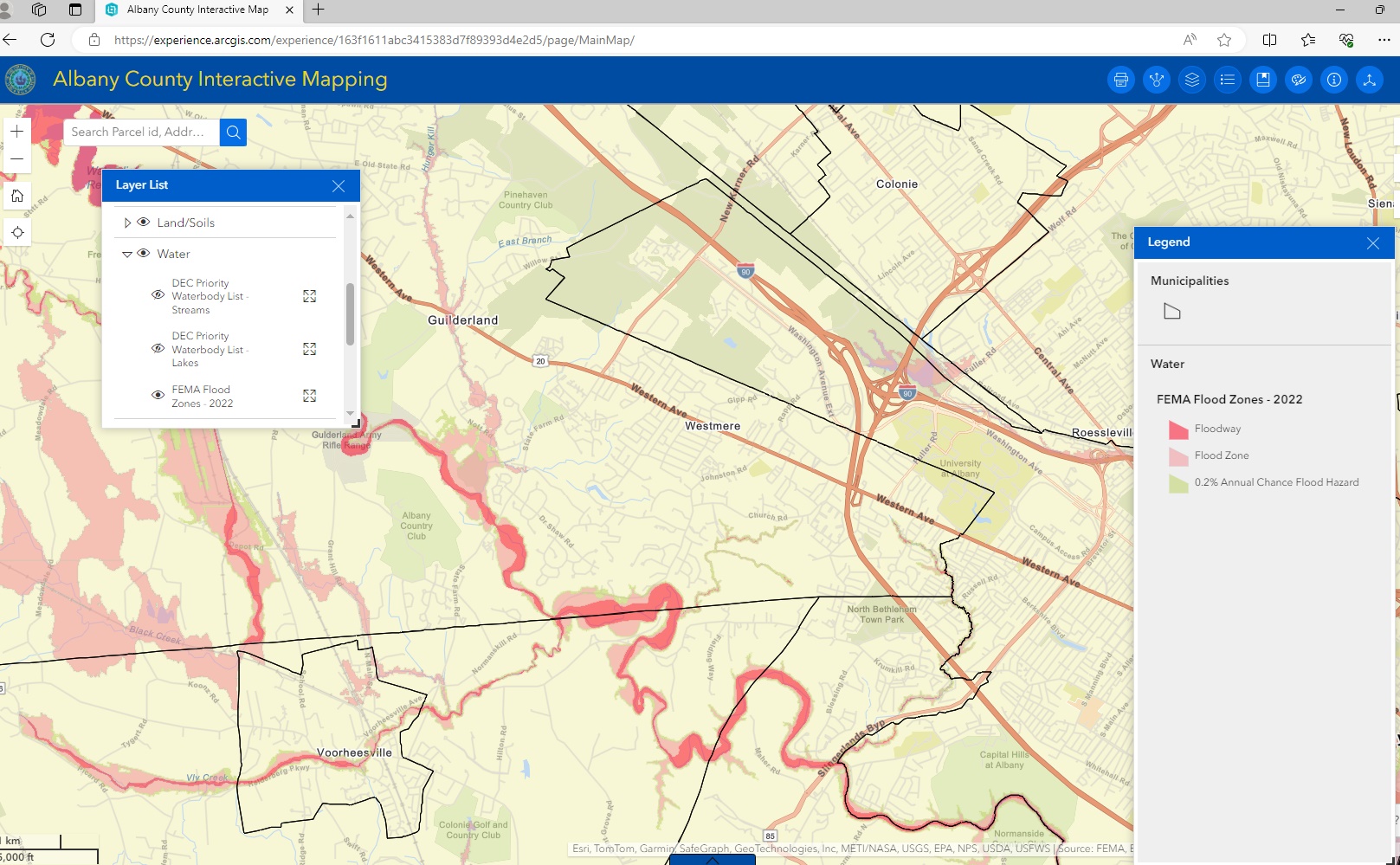
- Flood and Topo Map
- Summary Tax Information with Links to further details
- and much more
-
-
The best way to learn how to use it -
- Experiment with options in the Layer List popup menu.
- Change display with options in the Legend menu.
- Explore the other icon selected options.
source
Albany County Interactive Mapping direct url
https://experience.arcgis.com/experience/163f1611abc3415383d7f89393d4e2d5/page/MainMap/
Example - Flood information selected for viewing

